
www.technology4environment.com
24
'26
Written on Modified on
ICEYE & Jane Goodall Institute deploy SAR for Congo Basin deforestation monitoring
Radar satellite data enables real-time detection of forest disturbance in the Congo Basin, supporting wildlife protection and field-based conservation efforts.
www.iceye.com
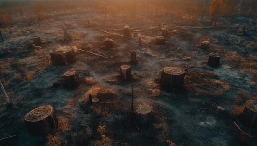
Environmental monitoring, wildlife conservation, and geospatial intelligence increasingly rely on advanced satellite technologies to overcome limitations of traditional observation methods. In this context, ICEYE and Jane Goodall Institute have partnered to deploy a synthetic aperture radar (SAR)-based deforestation monitoring solution across conservation corridors in the Congo Basin, with initial focus on the eastern Democratic Republic of Congo.
The region, often referred to as the “green heart” of Africa, contains the world’s second-largest rainforest and supports a large population of chimpanzees. However, threats such as illegal logging, mining, habitat loss and human encroachment continue to impact biodiversity and ecosystem stability.
SAR technology for continuous environmental monitoring
Conventional optical satellite systems are often limited in tropical regions due to persistent cloud cover and dense vegetation. ICEYE’s SAR satellite constellation addresses these constraints by enabling continuous imaging regardless of weather conditions or time of day.
This capability allows detection of changes in forest cover and land use that would otherwise remain unobserved for extended periods. By providing consistent data, SAR supports near real-time monitoring of deforestation and related activities.
Real-time intelligence for field operations
The monitoring system delivers situational awareness to conservation teams, enabling more informed decision-making in areas where ground access is limited or unsafe. Data generated from SAR imagery is used to:
- Identify illegal logging and mining activities
- Detect settlement expansion and forest disturbance
- Support patrol planning and enforcement coordination
This integration of satellite intelligence with field operations improves the allocation of limited resources and enhances the safety of rangers and local conservation teams.
Application in high-risk and complex environments
The eastern Democratic Republic of Congo presents significant challenges for monitoring due to political instability, difficult terrain and limited infrastructure. SAR-based observation enables consistent surveillance without reliance on continuous ground presence.
By linking satellite data with on-the-ground expertise, the partnership enables adaptive monitoring strategies that respond to evolving environmental conditions.
Expansion to long-term conservation sites
The collaboration also extends to Gombe National Park in Tanzania, a long-term research site for chimpanzee studies. In this region, SAR monitoring supports analysis of habitat changes both within and outside protected areas.
Deforestation in surrounding regions can fragment habitats and reduce biodiversity, while also increasing risks such as landslides and resource degradation. Continuous monitoring enables early detection of such changes, supporting long-term conservation planning.
Integration of satellite data and local knowledge
The partnership combines space-based observation with local expertise from field teams and community-led initiatives. This approach ensures that satellite-derived insights are translated into actionable conservation measures.
By improving visibility into environmental changes and enabling faster response times, SAR-based monitoring contributes to more effective protection of wildlife habitats in regions where conventional monitoring methods are limited.
Edited by Natania Lyngdoh, Induportals Editor — Adapted by AI.
www.iceye.com
Application in high-risk and complex environments
The eastern Democratic Republic of Congo presents significant challenges for monitoring due to political instability, difficult terrain and limited infrastructure. SAR-based observation enables consistent surveillance without reliance on continuous ground presence.
By linking satellite data with on-the-ground expertise, the partnership enables adaptive monitoring strategies that respond to evolving environmental conditions.
Expansion to long-term conservation sites
The collaboration also extends to Gombe National Park in Tanzania, a long-term research site for chimpanzee studies. In this region, SAR monitoring supports analysis of habitat changes both within and outside protected areas.
Deforestation in surrounding regions can fragment habitats and reduce biodiversity, while also increasing risks such as landslides and resource degradation. Continuous monitoring enables early detection of such changes, supporting long-term conservation planning.
Integration of satellite data and local knowledge
The partnership combines space-based observation with local expertise from field teams and community-led initiatives. This approach ensures that satellite-derived insights are translated into actionable conservation measures.
By improving visibility into environmental changes and enabling faster response times, SAR-based monitoring contributes to more effective protection of wildlife habitats in regions where conventional monitoring methods are limited.
Edited by Natania Lyngdoh, Induportals Editor — Adapted by AI.
www.iceye.com
